 3 hours Ago
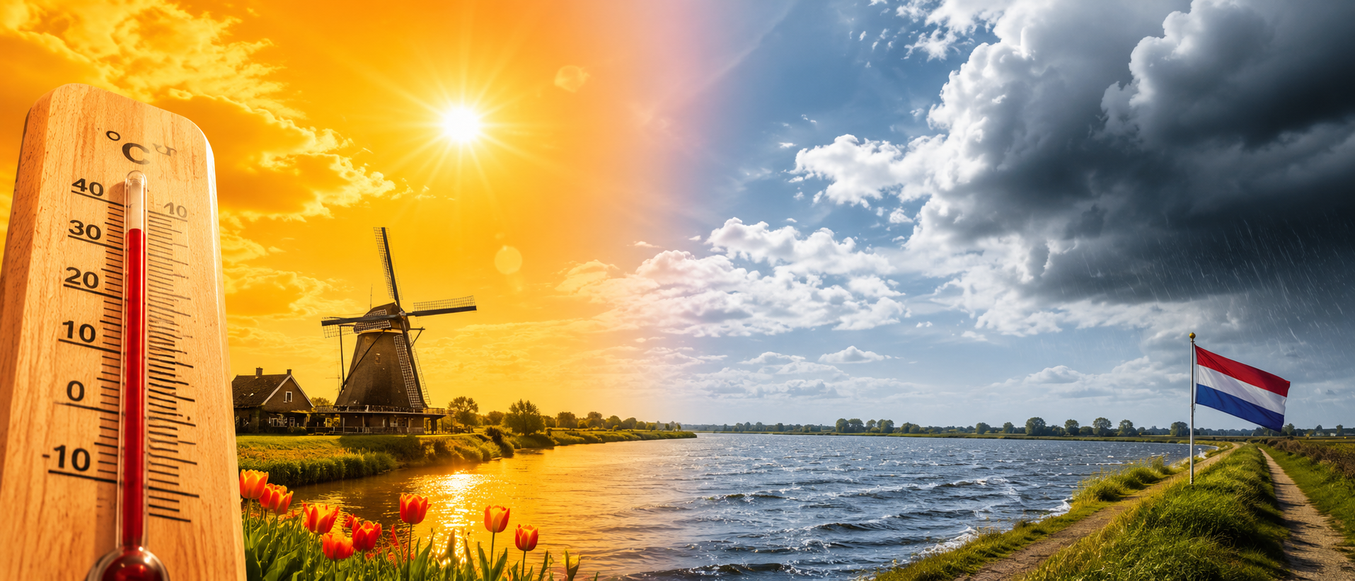
A Historic Heatwave Gripping the Country
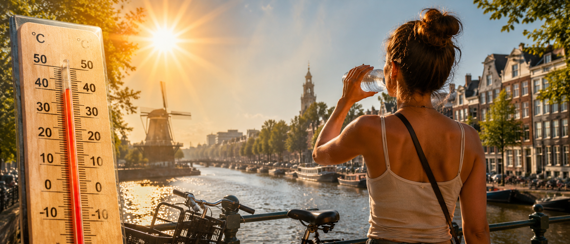
The southeast is bearing the worst of it. Meteorologist Matthijs van der Linden put it plainly — temperatures there will reach somewhere between 36 and 37 degrees on Thursday, while most other parts of the country will sit between 30 and 35 degrees through the afternoon. Only the north gets a slight reprieve, with a moderate northeasterly wind keeping things a touch cooler at 26 to 29 degrees.
Overnight brought little relief either. Several regions never dropped below 20 degrees, meaning many people woke up already drained. Thursday night is expected to go down in the history books entirely. Temperatures at the national weather station in De Bilt are forecast to stay above 24 degrees, which would make it the hottest night recorded in the Netherlands since measurements began back in 1901. The previous record was set on July 27, 2018, when De Bilt logged 23.6 degrees Celsius overnight.
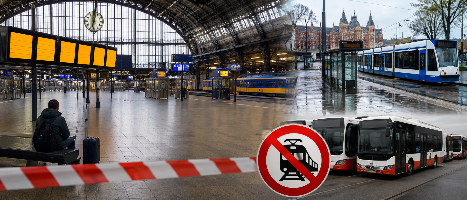
The national weather authority KNMI has a code orange warning active for extreme and oppressive heat, and it will stay in place at least through Saturday. The advice is straightforward: avoid heavy physical activity during peak afternoon hours, drink plenty of water, and keep sunscreen close.
Friday Peaks, Weekend Stays Warm, Relief Coming Monday
Friday will be the hottest day of the stretch. Inland southeastern areas could touch 39 degrees, and even the north — which has had some buffer this week — will climb to between 33 and 36 degrees. The Wadden Islands, usually spared the worst of summer heat, are forecast to reach 29 to 33 degrees, qualifying as a tropical day by Dutch standards. Van der Linden also flagged a concern beyond the temperature itself. Poor air quality due to smog is expected to cause respiratory problems for a growing number of people as the heat peaks.
The weekend will remain hot but with subtle shifts. Saturday brings highs of 37 degrees in the east and southeast, around 34 degrees in the Randstad, and 29 degrees along the coast. Some cloud cover will drift through, and there is a chance of isolated thunderstorms later in the afternoon and evening. Sunday turns more unsettled — a mix of sunshine and clouds, with rain and storms likely at points. The east still sees a tropical day with maximums of 30 to 34 degrees, while central and western areas sit between 25 and 29 degrees. Despite the slightly lower numbers, the humidity will make it feel just as oppressive.
The wait for cooler air ends on Monday. Temperatures will ease to 25 to 28 degrees inland — warm, but nothing like what the country has been enduring. By the middle of next week, afternoons will settle in the 21 to 24 degree range. Van der Linden described those values as very normal for this time of year. Sunshine and showers will return alongside a moderate north to northwesterly breeze, bringing what most people in the Netherlands have been quietly waiting for — a breath of ordinary summer weather.